It rained for a week or more. The ground was soggy. The air moist and we were going stark raving mad with cabin fever. So we decided to go swimming this morning.
Apparently, while a good IDEA, swimming is a scary, miserable, rotten and angst-inspiring REALITY for Katherine. She went to bed talking about going swimming. She woke up this morning with promises of splashing us all over in the pool and kicking her feet. When faced with a real, wet, noisy swimming pool, she turned into a wee, wet, screaming banshee.
We spent $10 to find out that she was completely adverse to putting a toe in the pool.
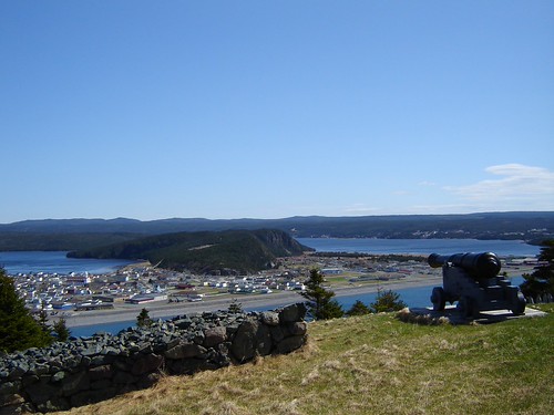
Determined to redeem the day somewhat, if possible, we got into the car and drove in search of blue sky. It could have been a long drive, but luckily, we achieved our goal round about Placentia. Parked the car at the beach and walked up the old road (now a trail) to Castle Hill. Definitely worth it. I doubt if I will ever use the Parks Canada Castle Hill access again. Very pleasant walk that gives you a real feeling for the location of the fortifications.
The sides of the old road are still evident, as you can see below. In the 1700s, this path was used by people travelling between the fort and the beach settlement.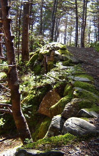
There are still a few canon around. John and Katherine found them entertaining.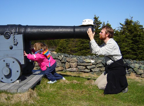
Placentia was originally a French fortification and community, known as Plaisance. It was the French capital of Newfoundland and was an important base for the French fishery in the New World. The fortifications changed places several times, from beach to hilltop to other hilltop. the current Castle Hill site is the most recent of the fortifications. In 1715, the entire community moved to Cape Breton (Nova Scotia) by condition of the Treaty of Utrecht, signed the previous year. I wrote a long-winded thesis about the religious life in Plaisance for my Master of Arts degree.
Here's the walkway leading into the fort ruins:
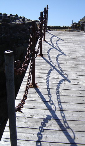
The shadows of the chains looked rather like the strands of a spider web.
A canon, baking in the first sun it has seen in over a week:
The town of Placentia, as seen from the fort. 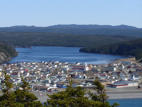
The church in the middle is in roughly the location of the original monastery and church as constructed by the French in the 1600s. The first religious leaders in the town were priests accompanying fishing vessels, followed by army chaplains and finally by the Franciscan Récollet monks from the provinces of Saint-Denis and Brittany. Their mission lasted from 1689 or so until long after 1715, when they accompanied the community to Cape Breton. Fascinating time period in the life of this province and a really interesting study to have made. I particularly enjoyed gleaning bits and pieces of information about religious life in the colony from the correspondences of the inhabitants.
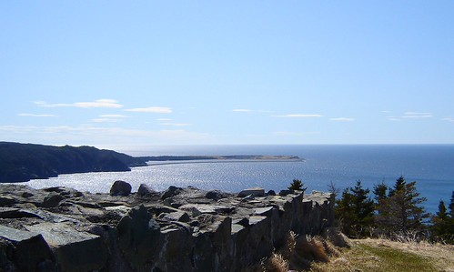
Here's Pointe Verde, location of the worlds ugliest lighthouse. Seriously. Metal framework with a light on top, surrounded by scrap metal, a gravel quarry and chain link fencing. Lovely spot. Looks better from a couple of miles away.
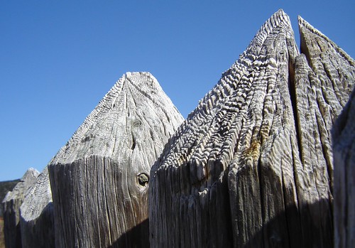
The palisade of the fortifications, reduced in height somewhat so as not to spoil the view, I suspect. A very short palisade. Very short. Three feet short. Hopefully it was taller, historically. Guess the Parks Canada people feel safe from marauding tourists.
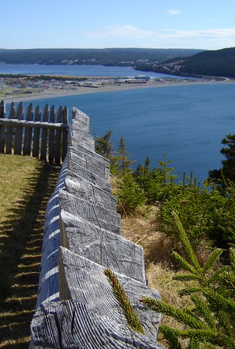
A final shot of the tops of the palisade that lines the beach. Originally used for drying vast quantities of fish, the incredible cobblestone beaches are the main reason Placentia/Plaisance was settled. Now there's a fabulous boardwalk the length of the shore (a mile or more) that connects to the trail up to the fort.
A day well-spent. By the end of it, I was even beginning to forget the swimming debacle. Until, of course, she asked to go again sometime. Hah.
